Welcome
The North Jean-Baptiste Pointe DuSable Lake Shore Drive Phase I study encompasses the area between Grand Avenue and Hollywood Avenue along North DuSable Lake Shore Drive. Google map here.
More than one hundred years ago, architect and planner Daniel Burnham inspired Chicago to "Make no little plans; they have no magic to stir men's blood" and this grand vision inspired the public lakefront and Lake Shore Drive, which we enjoy today. The North DuSable Lake Shore Drive Study offers a rare opportunity to continue to enhance North DuSable Lake Shore Drive.
The citizens of Chicago and all regional users will have the chance to provide input on how they use the Drive and how we can meet travel demands of all users in the corridor.
Help us redefine North DuSable Lake Shore Drive!
Provide your feedback to the project team at [email protected]
Additional ways to provide feedback can be found on the Contact Us page.
Latest News
August 2023
Recap of Notable Alternatives Considered and Dismissed Study Spotlight and Transportation Modeling Study Spotlight
Check out our most recent study spotlights to review initial alternatives considered and transportation modeling.
April 2023
Belmont Avenue to Addison Street Community Meeting
In coordination with the 44th Ward and 46th Ward, a Community Meeting focused on the Belmont Avenue to Addison Street corridor was held on April 20th at Temple Sholom.
March 2023
Shoreline Protection Video
Check out our latest video on NDLSD Shoreline Protection! We often receive questions about current and future lake water levels and how the project team is considering climate resiliency. A major component of the NDLSD project is to provide improved shoreline protection measures that address these issues. We have produced a 3-minute video to show how we have been developing and testing potential shoreline protection measures (including creating a scale model of a key section of the lakefront in a wave tank!) that may ultimately be incorporated into the corridor design. We have also prepared a Study Spotlight to review this topic.
PROJECT VISUALIZATIONS
What will it look like while walking, running, or bicycling along the north lakefront?
How will it feel to wait for the bus along Inner Drive?
To help answer some of these questions and better illustrate the potential user experience along
the north lakefront, we have created over twenty new visualizations . These incorporate input from the Summer 2022 Access and Experience at the Lakefront Survey, along with the Public Life Study. Thank you to everyone who participated in these efforts to improve the corridor design through better placemaking.
March 2022
ACCESS AND EXPERIENCE AT THE LAKEFRONT SURVEY
We want to ensure that future amenities and access features along North DuSable Lake Shore Drive (NDLSD) serve the needs and desires of the people who will use them. Thank you to everyone who completed the questionnaire to let us know what you love about the lakefront, how you would prefer to access the lakefront, and what you desire for future open spaces. We will share survey results later this year.
March 2022
Task Force Meeting #13 - Review the meeting materials
SEPTEMBER-NOVEMBER 2020
PUBLIC INPUT OPPORTUNITY 2020
Thank you to all who participated in the North DuSable Lake Shore Drive Public Input Opportunity held September 28, 2020 through November 9, 2020! We welcome you to Review the meeting materials
JUNE 2020
Task Force Meeting #11 - Review the meeting materials
MARCH 2020
Task Force Meeting #10 - Review the meeting materials
DECEMBER 2019
Winter 2019 Update - View the update
October/November 2019
Northern Terminus Traffic Study Community Meeting #2- Review the meeting materials
September 2019
Montrose-Wilson-Lawrence Avenue Corridor Community Meeting #3 - Review the meeting materials
August 2019
Diversey to Irving Park Road Corridor Community Meetings - Review the meeting materials
January 2019
Montrose-Wilson-Lawrence Avenue Corridor Community Meeting #2 - Review the meeting materials
December 2018
Task Force Winter 2018 Update - View the update
October 2018
Montrose-Wilson-Lawrence Avenue Corridor Community Meeting #1 - Review the meeting materials
July 2018
Task Force Meeting #9 - Review the meeting materials
March 2018
Task Force Meeting #8 - Review the meeting materials
November 2017
Public Meeting #3 Survey - View survey results
October 2017
Task Force Meeting #7 - Review the meeting materials
July 2017
Public Meeting #3 - Review the meeting materials
May 2017
Task Force Meeting #6 - Review the meeting materials
December 2016
Task Force Meeting #5 - Review the meeting materials
May 2015
Since the NDLSD Phase I kickoff in 2013, numerous meetings have been held with the public, existing conditions and transportation needs have been identified, and the Purpose and Need Statement has been drafted and approved. The Project Study Group, consisting of the Illinois Department of Transportation (IDOT), Chicago Department of Transportation (CDOT), the Federal Highway Administration (FHWA), the Chicago Park District and the Chicago Transit Authority (CTA) is now in the process of identifying, developing and evaluating alternatives.
Please take a moment to read the NDLSD Spring 2015 Newsletter for more information about What's Next, Alternatives Development & Evaluation, the public's Top 20 Ideas to Redefine the Drive, Coastal Considerations and more.
December 2014
View the current Purpose & Need Statement (PDF 9MB)
We are pleased to announce that we have recently received concurrence on the project's Purpose & Need Statement from all of the necessary regulatory and resource agencies. This includes the U.S. Environmental Protection Agency (EPA), U.S. Fish and Wildlife Service and the U.S. Army Corps of Engineers.
The North DuSable Lake Shore Drive Purpose & Need Statement has changed since it was posted in May of 2014. Project stakeholders have provided extensive and valuable input that has allowed the Project Study Group to enhance the draft Purpose & Need Statement and better focus it on the diverse needs that exist in the project area. Since the draft Purpose & Need Statement was posted, the project team has reviewed your feedback, made revisions to the document and sought concurrence on the revised document from regulatory and resource agencies that are partners in the NEPA/404 Merger process.
The current Purpose and Need Statement documents the following needs:
- Improve safety for all users.
- Improve mobility for all users.
- Address infrastructure deficiencies.
- Improve access and circulation.
This document will guide development of the project alternatives and, eventually, the preferred alternative. You can also review the list of regulatory and resource agencies in the Stakeholder Involvement Plan.
The Purpose & Need Statement for a project is essential to establishing a basis for the development of the range of reasonable alternatives required in an Environmental Impact Statement (EIS) and assists with the identification and eventual selection of a preferred alternative. It is also an important first step in the NEPA/404 Merger Process which ultimately will assure that all applicable environmental laws, executive orders, and regulations are considered and addressed prior to the final project decision and document approval. The Merger Process allows transportation officials to make project decisions that balance engineering and transportation needs with social, economic, and natural environmental factors.
Please note that the Project Study Group has reviewed all of the improvement ideas and suggestions that we received from stakeholders and the public. We are using that data to develop a wide range of improvement concepts for the study corridor. In addition, we are formulating the criteria that will be used to evaluate the alternatives.
To learn more about the EIS process and Purpose & Need Statement you can review these materials: The Importance of Purpose & Need Statement in Environmental Documents, Task Force Meeting #2 Presentation, or the Public Meeting #1 presentation.
October 2014
Top 20 Ideas to Redefine the Drive - View the PDF
July 2014
Public Meeting #2 - Public meeting materials
May 2014
Draft Purpose & Need Statement (PDF)
March 2014
Task Force Meeting #4 - Review the meeting materials
August 2013
Public Meeting #1 - Public meeting materials
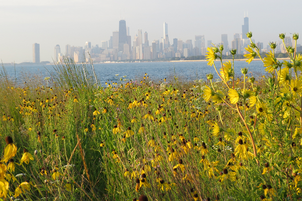
Photo Gallery
-
1935 - Looking north along Lake Shore Drive at Belmont Avenue
© Chicago Park District Special Collections -
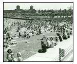
1930s - Ohio Street Beach
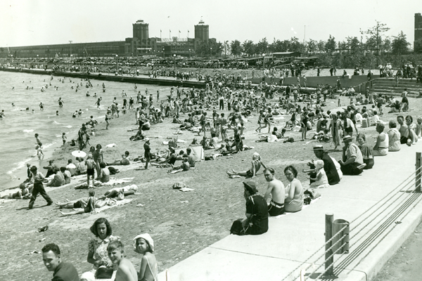
© Chicago Park District Special Collections -

1937 - Division Street Pedesrtian Underpass Entrance
© Chicago Park District Special Collections -

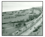
1942 - Looking south along Lake Shore Drive at Belmont Avenue
© Chicago Park District Special Collections -
1945 - Lincoln Park Extension-Waveland Golf Course Looking South
© Chicago Park District Special Collections -

Lakefront during the early 20th Century
© Chicago Park District Special Collections -
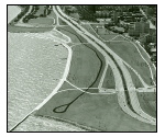
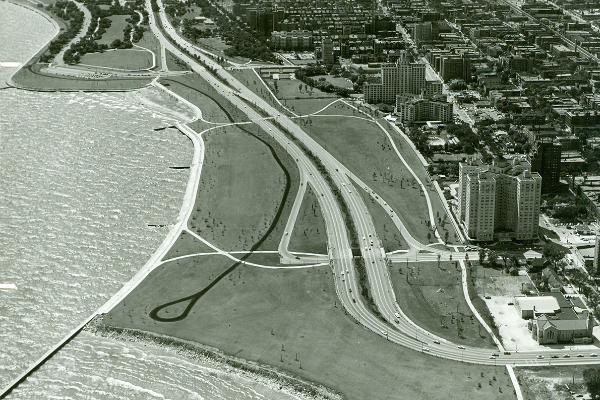
1958 - Lincoln Park Extension-Foster to Hollywood Aerial Looking South
© Chicago Park District Special Collections -

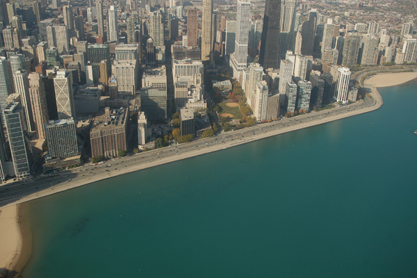
2009 - Aerial view looking west near Navy Pier
© Photography by Brian Fritz -

2009 - Aerial view looking northwest near Montrose Avenue
© Photography by Brian Fritz -
2012 - Looking south from the Passerelle Bridge north of LaSalle Drive
-

2012 - Looking southeast at Buena Avenue pedestrian underpass
-
2012 - Looking north along Lakefront Trail at Chicago Avenue
-
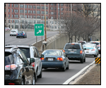
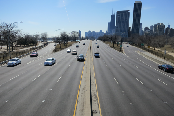
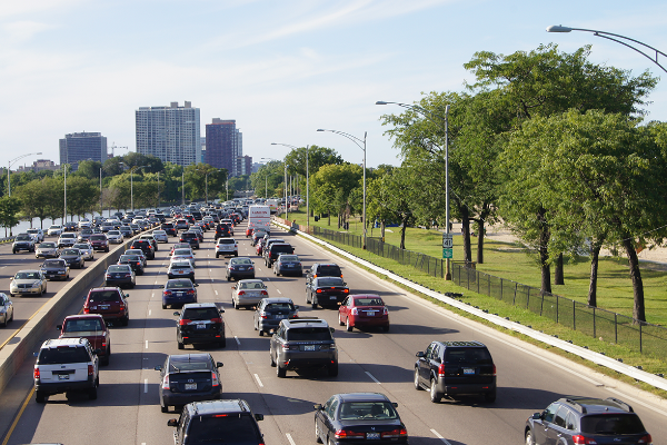
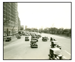
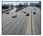
2013 - Northbound Belmont Avenue exit ramp during evening rush hour.
-
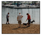
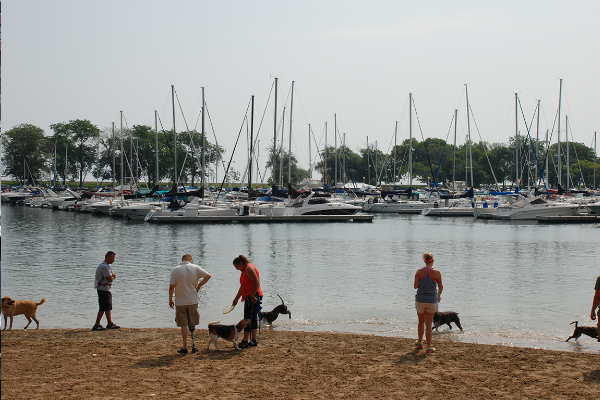
2014 - Belmont Harbor Dog Beach
-

2014 - Diversy Harbor - On Fullerton Looking North
-

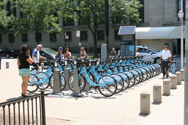
2014 - Divvy Bike Station - Michigan and Oak
-

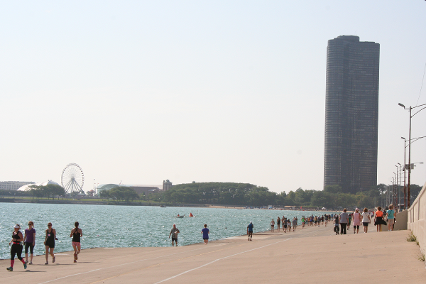
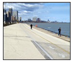
2014 - Lakefront Path at Oak Street Curve looking South
-

2014 - Looking North from Passerelle Bridge
-
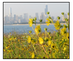
2014 - Montrose Point Scenic View
-

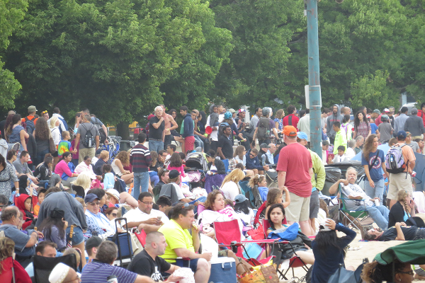
2014 - Oak Street Beach Air and Water Show Crowd
-

2014 - Seagulls on pier near Fullerton
-

2014 - NB Exit traffic at Irving Park